


Geologically, the territory of the Republic of Azerbaijan belongs to the alpine fold belt. It includes the southeastern parts of the Greater and Lesser Caucasus and the Kura intermontane depression separating them, as well as various belts covering the Middle Caspian and South Caspian basins.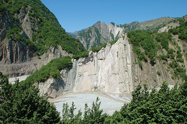 In the Republic of Azerbaijan, the thickness of the earth's crust varies between 38-55 km. The maximum thickness was noted on the territory of the Greater Caucasus, the minimum — on the slopes of the Talysh mountains. The geological structure of the territory contains complexes of deposits of all geological periods, formed from sedimentary, volcanic-sedimentary, volcanic, and continental rocks, starting from the Precambrian and including deposits of the modern period. Eugeosynclinal, myogeosynclinal, and molasse deposits of the Mesozoic and Cenozoic ages are mainly widespread in the republic. A small part contains Paleozoic sub-platform deposits and metaphorical rocks of the Precambrian period.
The main structural units of the Republic of Azerbaijan are the mega-anticlinorium of the Greater and Lesser Caucasus, the Kura intermontane depression. The meganticlinorium of the Greater Caucasus is a complex structure; along with the ancients, young structures are also located in it.
All the described structures of the Greater Caucasus anticlines, abruptly disappearing in the Girdman River, are closed in a periclinal manner on the shores of the Caspian Sea in the east. In the area of the Shemakha-Gobustan syncline, the continuation of the Vandam anticlines is considered the maximum gravity of the Yavanlydag-Sangachal. Here, between the rivers Agsu and Girdman, on the Maikop deposits, there is a thick (1500 meters) cover of chalk deposits (the amplitude of horizontal movement is 10 km), which is called the Baskal cover. In the west, between the Mazym and Girdman rivers, a significant southern part of the Vandam anticline is covered with stones.
The Kura intermontane depression was formed over a long geological period. However, it received its modern configuration only in the fourth period — Oliocene. Along the length of the basement of the depression, there is a stepped descent from west to east, as well as from north to south, and in the opposite direction. Being a derivative structure, located on the surface of stratal deposits, in an unusual way covers the underlying structural complex. There are two depressions of the transverse uplift: Sredne-Kura (the Upper Kura depression is located in the Georgian Republic) and Nizhne-Kura.
The front depression to the Lesser Caucasus stretches in a southeastern direction, parallel to the Somkheti-Agdam zone of the Lesser Caucasus. It is formed from sediments of the Paleogene flysch type and sediments of the Neogene-anthropogenic formation; clearly visible in the northeast along the Kursk gorge to Yevlakh, the Kura fault is limited by a flexural deviation passing along the Barda-Beylagan line. Despite the restriction in the west of the fault depression in front of the Lesser Caucasus, the southwestern boundary has an entrance and an exit.
The area of the Talysh fault is directly a conditional continuation of the central part of the Lesser Caucasus. It is located on a pre-Alpine basement that has risen in the transverse direction. The fineness of the Upper Cretaceous is formed from carbonate, deposits of the Paleogene-lower flysch of the Eocene, and the Middle Eocene trachybasalts. Small intrusive masses of the site are located in the Paleogene and, being related to alkaline-basaltic, gabbro, diabase-diorite and gabbro-monzonite-syenic formations, together with volcanic rocks form a single magmatic complex.
Talysh megastructure consists of synclinal tectonic blocks of Jalilabad and Yardimly, as well as Burovarsky and Astara anticlinal tectonic blocks.