


Hydrographically, the Republic of Azerbaijan belongs to the Caspian Sea basin. The water systems of Azerbaijan (rivers, lakes) were formed over a long geological timeframe and changed significantly throughout that period. This is particularly evidenced by remnants of ancient rivers found throughout the country. The country's water systems are continually changing under the influence of natural forces and human-introduced industrial activities. Artificial rivers (canals) and ponds are a part of Azerbaijan's water systems.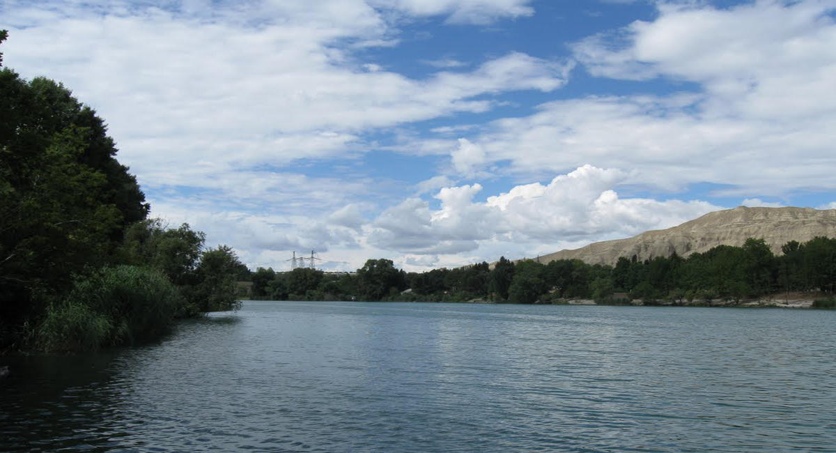
Rivers form the principal part of the water systems of Azerbaijan. There are 8,359 rivers of various lengths within Azerbaijan. Of them, 8,188 rivers are less than 25 kilometers in length. Only 24 rivers are over 100 kilometers long. Kur, Araz, Ganikh (in Alazan), Gabirri (Iori), Samur, Terter, Turyan, Aghstafa, Hekeri, Vilesh, and others are the largest rivers that flow through the country.
The country's rivers are divided into three groups:
1) The Kur basin rivers (Ganikh, Gabirri, Turyan, Aghstafa, Shemkir, Terter, Khachin, etc.);
2) The Araz basin rivers (Arpachay, Nakhchivan, Okhchu, Hekeri, Kondelenchay, etc.);
3) Rivers, flowing directly into the Caspian Sea (Samur, Gudyal, Velvele, Vilesh, Lankaran, etc.).
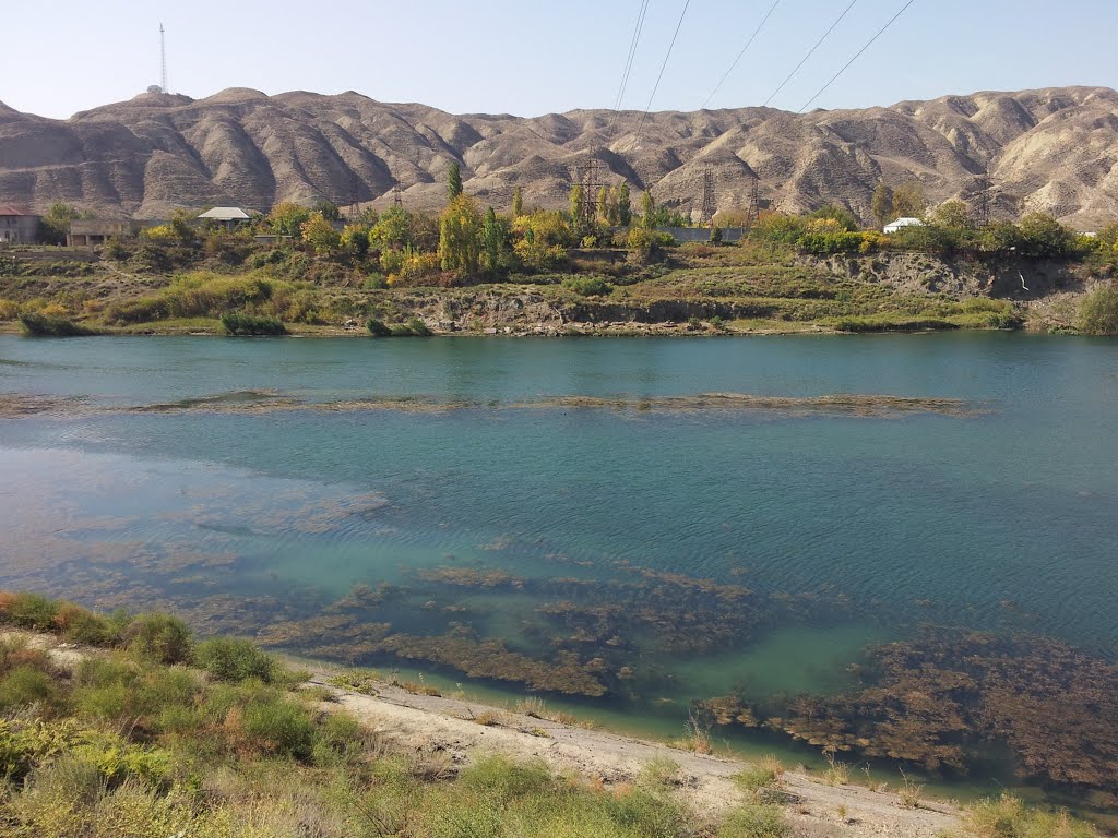
Kur and Araz run through the Kur-Araz lowland. The rivers that directly flow into the Caspian Sea, originate mainly from the north-eastern slope of the Major Caucasus and Talysh Mountains and run along the Samur-Devechi and Lankaran lowlands.
Azerbaijan river systems are changing and evolving under the influence of various physiographic factors: climate, landscape, geological structure, soil and vegetation.
The density of the river network increases, then gradually decreases later with higher altitudes. Except for the Talysh region (1.6-2.2 km/sq.km), the river system density is the highest (1-2 km/sq. km) at 1,000-2,500 kilometres, while in the area of the Talysh mountains it peaks at 1.6-2.2 km/sq.km at 500-1,000 km. The average density of the river system of Azerbaijan is 0.39 km/sq.km. The density is even lower than 0.05 km/sq.km in the plains.
The Kur River basin area (86,000 sq. km) up to the junction with the Araz River is smaller than the Araz water basin (101,937 sq.km). The river is still called Kur on the junction because the water level of the Kur is twice as high as that of the Araz River.
Rivers of Azerbaijan can be divided into the three main groups regarding their water flow specifications:
1) perennial rivers;
2) seasonal rivers that flow only during the melting of snow in spring.
3) episodic rivers that flow in episodes after a downpour of rain of flash flood.
These three groups differ from each other for the volume of underwater supply to their streams. Perennial rivers are fed by a constantly flowing baseflow (groundwater). Seasonal rivers are fed by an elevated water table during the rainy period, while episodic rivers are not at all dependent on baseflow.
Like in all other countries, rivers have different feeding sources in Azerbaijan. Most rivers are fed by snow, rainfalls, and groundwaters. Snow is the predominant feeding source for the rivers of the Major Caucasus,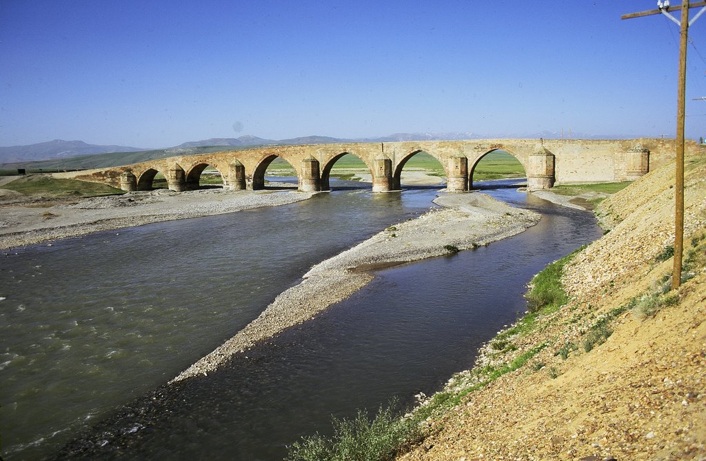 while ground waters contribute the most to the water supply of rivers in the Minor Caucasus. The Kur and Araz rivers pass Azerbaijan in their lower and middle courses.
The Kur river is the largest river in Azerbaijan. It stretches for 1,515 kilometers and covers an area of 188 thousand sq. km. The Kur originates from the Hel River in Turkey, passes through Azerbaijan, and flows into the Caspian Sea in the south-eastern part of the country.
The Araz River covers an area of 86 thousand sq. km until its junction with the Kur River. It originates from the Bingol mountains in Turkey at an altitude of 3300 meters. On the whole, the Araz River forms Azerbaijan's border with Turkey and Iran. It passes through Azerbaijan in its lower 80 kilometers and joins the Kur River near Sabirabad.
These two rivers belong to the group of rivers, flowing at full under the influence of snow and rainfalls in spring and rainfalls in autumn.
Weather produces the greatest impact on the river flow in Azerbaijan. The intensive rise in temperature causes the melting of snow at heights of over 1500. The melting of snow further intensifies after heavy rainfalls of April and May. Snow melts more intensively in the high altitudes (over 2500-3000 meters) from early April through May until June. The melting process influences river flow even in the summertime. Thus, melted snow water, absorbed by the soil, emerges on the surface and raises the water level in rivers. Low river basins (except for those of the Talysh region) are less influenced by the precipitation in spring and summer periods. Winter and autumn rainfalls account for the most part of precipitations in the Talysh region. Rivers are less full of water in summer in Azerbaijan. Heavy rainfalls that may from time to time occur in July and August, lead to floods, causing agricultural damages. Severe floods have been registered in the rivers of southwestern slopes of Major Caucasus Zengezur part. Rivers of the Major and Minor Caucasus mainly flow in hot seasons, while rivers of the Talysh regions flow in colder seasons of the year. Rivers, flowing in hot seasons account for the most part of all rivers (60-80%). Such seasonal flows are difficult for industrial use. On the whole, rivers of the Azerbaijan Republic are divided into two groups, according to their water regime: 1) rivers of the full-flowing regime; 2) rivers of flood regime. Flood rivers are the Lankaran rivers and episodic rivers of Gobustan. Other rivers are included in the first group of rivers.
The complex topography and other natural factors cause a non-standard flow across the country. The flow increases with altitudes and reaches its top at a certain height (2800, on the north-eastern slope of the Major Caucasus, 2000-2200-on its southern slope, and 2200-2400 on the Minor Caucasus). The flow starts to decline from above the indicated height. Due to the orographic specifications of the Talysh mountains, the flow is inconsistent with the average height. It decreases with the increase of altitude in the Talysh mountains, while in Peshteser and Burovar mountains it rises with the altitude.
The full-flowing rivers of the Azerbaijan Republic mainly flow on the southern slope of the Major Caucasus. The average flow of such rivers exceeds 45 cm. The flow falls to 5 cm till the Alazan-Ayrichay lowland. The flow module of rivers of the north-eastern slope of the Major Caucasus 18 cm. The increase of flow with the increase of altitude is relatively uniform in this part of the Major Caucasus. The intensive increase in the module of flow is registered on the area between the Yah mountain chains and the Major Caucasus mountains. (upper Qusar, Qudyal and other rivers.). The Average annual module of flow is from swings that hesitate from 10 to 20 cm. The flow of rivers, originating in the slopes of the Yah mountains, differs from that of the rivers, flowing from the Major Caucasus. The flow increases intensively and reaches from 6 to 18 cm at a height of 1000-2000 meters, due to the high level of precipitation. The flow gradually decreases until the Caspian Sea shore down to 0.5 cm. the flow decreases beginning from the northwest of till southeast of the seaside lowland and reaches zero levels on the Apsheron peninsula.
 Compared with the Major Caucasus, the flow in the Minor Caucasus is more complicated, due to its orographic complexity and differing location of mountain chains. The highest flow has been registered in the rivers flowing from the slopes of Gamish and Qapidjic mountains (over 28 cm). In the Karabakh plateau precipitation is absorbed by soil rocks, thus turning the region into an arid area, while in some places it bursts onto the surface thus increasing the water level in the rivers. That is typical of the upper Terter, Hekeri and other regions as underwater provides 70-80% of water to them. The flow fluctuates from 0.8 to 22 cm in the southeast of the Minor Caucasus (rivers, originating in the Caucasus mountains) and from 0.5 to 10 cm in the Nakhchivan Autonomous Republic. The flow gradually decreases to a level even lower than 0.5 cm on the plains on the side of Araz. In the Talish region, the flow increases in the direction from the north to south and from the west to east. The flow reaches its peak (over 25 cm ) in Tengerud and Astara river basins in the central part of the region, while it reaches its minimum north of the Vilesh river, as well as in the Lenkeran and Vilesh rivers. Gobustan, Nakhchivan, and Kur-Araz plains account for the lesser part of the water system in Azerbaijan.
Rivers of Azerbaijan carry a large quantity of sediment, the result of erosion in the river basins. The rivers in Azerbaijan are the most polluted rivers in the world. Their average annual pollution rate changes from 0.07 to 9 kg-1 cubic mete per region. It reaches its top on the north slope of Major Caucasus and minimum-on the Karabakh plateau. The surface erosion is intensive in the north slope of the Major Caucasus(100-6800 t/sq/km), and it becomes weaker on the Karabakh plateau (5-10 t/sq.km). The surface erosion in the rivers of the Major Caucasus (0.53 mm) is 13 higher than that of the Minor Caucasus (0.03 mm per year) and Talish mountains (0.04 mm per year).
Hydrological system and its importance
The hydrological system of the Azerbaijan Republic contains 10.3 billion cubic meters of water reserves. These water reserves together with those, entering Azerbaijan from neighboring countries (20.6 billion cubic meters) make up 30.9 billion cubic meters. Each square meter of the country receives 90 thousand cubic meters of reserves, while the annual per capita volume of water reserves total 1270 cubic meters. The basin of the river Kur accounts from most part of the water reserves. The nonuniform distribution of water reserves across the region and around the year hammers the utilization of these reserves and as a result of that, the reserves are not able to meet constantly growing demands for freshwater. The situation requires the regulation of water flow. 60 water reservoirs of the country with a capacity of over 1 million cubic meters account for 21 billion cubic meters of water reserves. Most parts of these reserves are used in different spheres (irrigation, water supply, industry, fishery, etc). The establishment of water reservoirs of the Middle Kur plays an important role in meeting demands for water. Currently, serious measures are undertaken to preserve pure water reserves and to prevent their polluting with communal and industrial wastes.
Canals
The Canals of the Azerbaijan Republic are the main source of irrigation. The canals used for the said purpose extend to 47058.8 kilometers, with canals, used by several farms, accounting for 8580.3 kilometers and those, used only by one farm for 38478.5 kilometers. The amount of 11 billion cubic meters of water is used in irrigation each year. Irrigated area of Azerbaijan totals 1.4 million hectares.