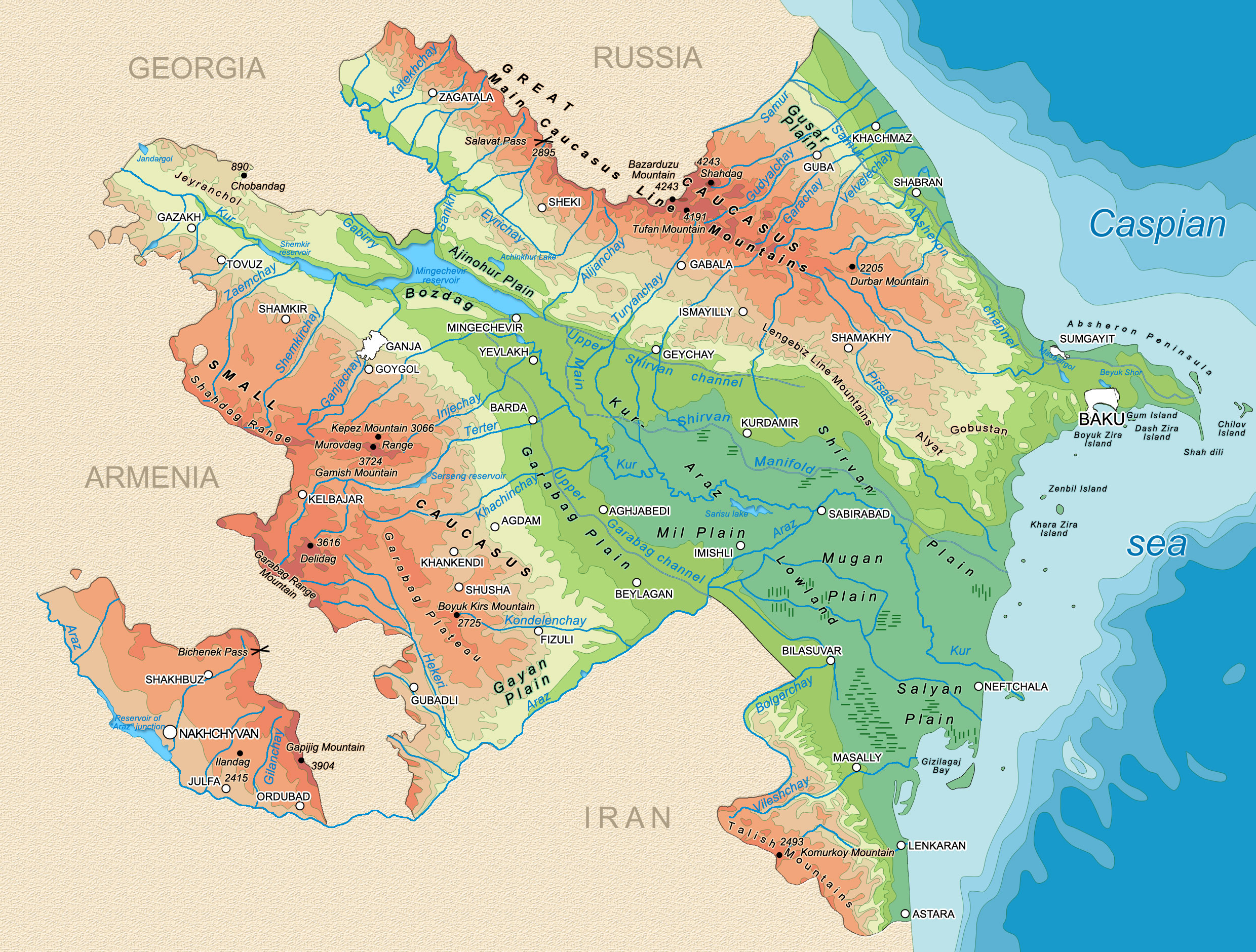
| Name |
Length, (km) |
Where it flows |
|
| Kur |
1515 |
to Caspian Sea |
| Araz |
1072 |
to Kur |
| Ganikh |
413 |
Mingechevir Reservoir |
| Gabirry |
389 |
Mingechevir Reservoir |
| Samur |
216 |
to Caspian Sea |
| Pirsaat |
202 |
stagnant |
| Sumgayit |
198 |
to Caspian Sea |
|
| Name |
Area, (sq.km) |
|
| Sarisu |
67,5 |
| Jandargol (8.0) |
12,5 |
| Boyuk Shor (3.2) |
9,2 |
| Masazirgol (3.5) |
8,9 |
| Hajigabul |
8,4 |
| Ajinohur |
7,8 |
| Boyuk Alagol (8.0) |
5,2 |
| Goygol (100) |
0,34 |
Note: Maximum depth is shown in bracket (m) |
|